CURRENCY
Hand coloured lithograph 52cm X 38cm Condition A+
$425.00
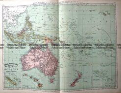
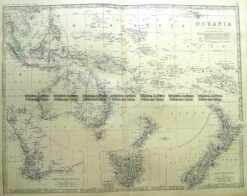
Antique Map 233-025 Oceania by Rand McNally c.1894
Antique Map 3-862 New South Wales by Tallis circa 1851
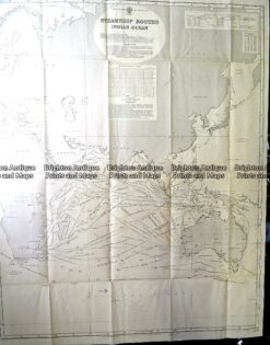
Antique Print Antique Map 230-602 Australia and Asia – Indian Ocean shipping routes c.1950
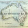
Antique Map 3-699 Oceania – Australia and Pacific by Johnston c.1864