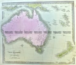
CURRENCY
Hand coloured lithograph 52cm X 38cm Condition A+
$425.00
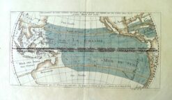
Antique Map 3-006 – Australia – Mer du Sud (Pacific) A F Prevost – circa 1753 Hand coloured copperplate engraving 30cm X 15cm Condition A+
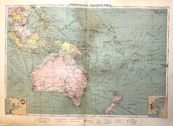
Antique map – Australia & New Zealand with shipping routes c.1913. Ref: 339-028
Antique Map 3-003 – Australia: Industries & Communications George Philip – circa 1905 Chromolithograph 48cm X 35cm Condition A+
Antique Map 3-991 Australia and New Zealand c.1840