CURRENCY
Kangaroo Island by Automobile Assoc &;c.1970
30cm X 20cm Condition B
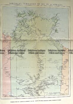
Antique Map 232-113 Northern Territory by Gordon & Gotch c.1889
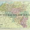
Antique Map 11-084 – Northern Territory J Perthes – circa 1875 Chromolithograph 40cm X 32cm Condition A+
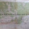
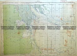
Antique Map 230-614 Western Australia -military maps c.1940’s
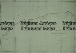
Antique Map 3-521 WA – Flinders chart of Australian Bight c.1814