CURRENCY
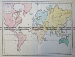
World by Emanuel Bowen
Copperplate engraving 54cm X 29cm Condition A+
&;
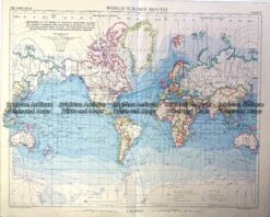
Vintage map – World Shipping Routes Ref# 232-908
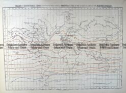
Antique Map 232-575 World – Isothermal Lines by Black c.1862
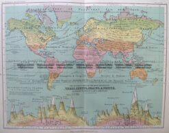
Antique Map 3-391 World – Trees, shrubs, Grains & Fruits c.1851
Antique Map – Carte Emblématique du Globe terrestre by Gaultier c.1810 Ref: 237-150