CURRENCY
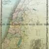
Pakenham street map in Parish of Pakenham &;c.1948
Lithograph 50cm X 50cm Condition
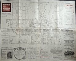
Antique Map 3-221 Coburg street map c.1920
Antique Map Camberwell / Bourke 1938
Antique Map Bulla Bulla / Bourke 1959
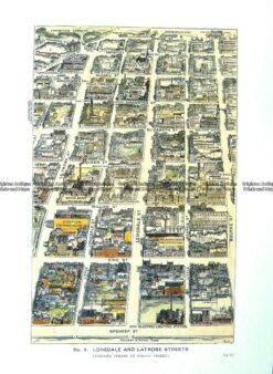
Antique Print Antique Map 29-490 Lonsdale and LaTrobe Street bird’s eye view c.1906