Brighton Antique Prints and Maps
Currency
WOOCS 2.1.5
VIEW CART
  • CURRENCY

    WOOCS 2.1.5
  • Home
  • Catalogue
    • Antique Map
    • Antique Print
    • Books & Gov’t Reports
    • Manuscript Documents
  • Recent Arrivals
  • About
  • FAQ
  • Register Interests
  • Contact Us
3-863  Australia circa 1849

Home/Antique Map/Australia & Pacific/Australia - Continent

Antique Map 3-863 Australia circa 1849

SKU: 3-863 Categories: Antique Map, Australia - Continent
4-147 - England - Hertfordshire Moule - circa 1840 Hand coloured steel engraving 25cm X 19cm
14-203 - Victoria Picturesque Atlas - circa 1886 Chromolithograph 61cm C 37cm Condition A+
  • Description

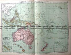
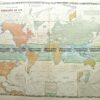
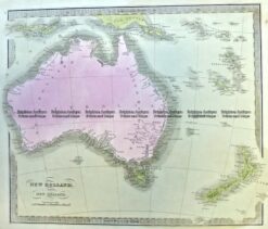
Asiatischer Archipel und Neu Holland c.1849 &;Australia and South East Asia

Hand coloured steel engraving
27cm X 20cm
Condition A+

SOLD


These may also be of interest

  • 3-105 - Western Australia - North West J Sands - circa 1886 Chromolithograph 42cm X 52cm Condition A+
    Antique Map

    Antique Map 3-105 – Western Australia – North West J Sands – circa 1886 Chromolithograph 42cm X 52cm Condition A+

    $250.00
  • Antique Map

    Antique Map 230-535 Nouvelle Guinee et Carpentarie by Mallet c.1683

    $250.00
  • Antique Map

    Antique Map 230-543 New and Accurate map of Asia by Thomas Bowen c.1779

    $275.00
  • Australia - Continent

    Antique Map – Pacific and Australia by Teasdale c.1847

    $220.00
© 2021 BRIGHTON ANTIQUE PRINTS AND MAPS. ALL RIGHTS RESERVED | Website by Blaze Online
Credit Card
Norton Safe Web Transaction
  • Home
  • Catalogue
    • Antique Map
    • Antique Print
    • Books & Gov’t Reports
    • Manuscript Documents
  • Recent Arrivals
  • About
  • FAQ
  • Register Interests
  • Contact Us
  • View Cart
  • Login
  • Currency
    WOOCS 2.1.5
Brought to you by WisdmLabs: WordPress Development Experts

Sending...