CURRENCY
$350.00
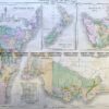
Australia in 1839 by S.D.U.K. c.1844
Steel engraving 39cm X 33cm yes,Condition A+
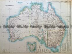
Antique Map 232- 268 Australia c.1890
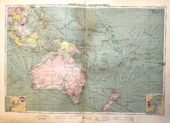
Antique map – Australia & New Zealand with shipping routes c.1913. Ref: 339-028
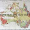
Antique Map 3-009 – Australia – Oceania Picturesque Atlas – circa 1886 Chromolithograph 61cm X 37cm Condition A+
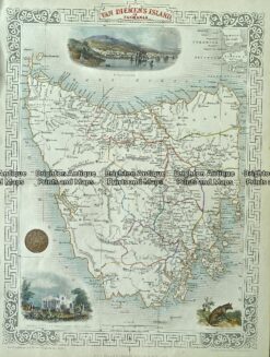
Antique Map 3-086 – Tasmania J Tallis – circa 1851 26cm X 36cm Condition A+