Skip to content
Brighton Antique Prints and MapsBrighton Antique Prints and Maps
  • CURRENCY

    WOOCS 2.1.5
  • VIEW CART
  • Catalogue
  • Home
  • Catalogue
    • Antique Maps
    • Antique Prints
    • Books & Gov’t Reports
    • Manuscript Documents
  • Recent Arrivals
  • About
  • FAQ
  • Register Interests
  • Contact Us
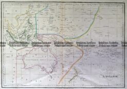
3-896  Australia and Pacific  c.1773
Home / Antique Maps / Australia & Pacific / Australia - Continent
  • 3-022 - Australia - East Coast of Australia from Cooks first voyage Dutch edition van Baasel - circa 1774 Copperplate engraving with outline colour 78cm X 36cm Condition A+

Antique Map 3-896 Australia and Pacific c.1773

  • 3-022 - Australia - East Coast of Australia from Cooks first voyage Dutch edition van Baasel - circa 1774 Copperplate engraving with outline colour 78cm X 36cm Condition A+

SKU: 3-896 Categories: Antique Maps, Australia & Pacific, Australia - Continent, New Zealand
  • 3-022 - Australia - East Coast of Australia from Cooks first voyage Dutch edition van Baasel - circa 1774 Copperplate engraving with outline colour 78cm X 36cm Condition A+
Product Categories
  • Antique Maps
    • World
    • Australia & Pacific
      • Australia - Continent
      • Victoria
      • Victorian Parish & Military Maps
      • Victorian Geological Maps
      • Melbourne
      • NSW
      • Tasmania
      • Queensland
      • WA, SA & NT
      • New Zealand
      • Pacific
    • Britain and Ireland
    • Europe
    • Asia
    • North America
    • South America
    • Africa
    • City Street Maps
    • Geological maps
    • Tallis
  • Antique Prints
  • Books & Gov't Reports
  • Manuscript Documents
  • Description

Australia and Pacific from Gentleman’s Magazine c.1773

Published the same year as Cook&’;s journal of his first voyage makes this one of the earliest maps of Australia with Cook’s discoveries in Australia and NZ.  Comes with two other maps, so you have a map of the entire world.

Copperplate engraving
22cm X 26cm
Condition A
These may also be of interest

Antique Map 230-536  Carte de L'Oceanie by Malte Brun  c.1836

Antique Map 230-536 Carte de L’Oceanie by Malte Brun c.1836

$280.00
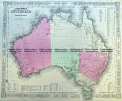
3-988  Australia by Johnson & Ward  c.1855

Antique Map 3-988 Australia by Johnson & Ward c.1855

$250.00
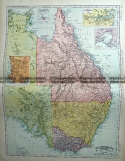
Antique Map 233-225  Australia - Victoria, NSW, Queensland by Rand McNally  c.1894

Antique Map 233-225 Australia – Victoria, NSW, Queensland by Rand McNally c.1894

$160.00
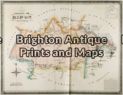
3-219 - Victoria - County of Rippon F E Hiscock - circa 1874 Hand coloured steel engraving 52cm X 39cm Condition A+

Antique Map 3-219 – Victoria – County of Rippon F E Hiscock – circa 1874 Hand coloured steel engraving 52cm X 39cm Condition A+

$490.00
© 2026 BRIGHTON ANTIQUE PRINTS AND MAPS. ALL RIGHTS RESERVED | Website by Blaze Online Credit Card
Visa
PayPal
Stripe
MasterCard
Cash On Delivery
  • Home
  • Catalogue
    • Antique Maps
    • Antique Prints
    • Books & Gov’t Reports
    • Manuscript Documents
  • Recent Arrivals
  • About
  • FAQ
  • Register Interests
  • Contact Us
  • View Cart

Sending...