CURRENCY
$750.00
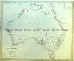
Australia by John Tallis &;c.1851
Steel engraving 32cm X 24cm Condition A
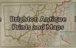
Antique Map 3-064 – New South Wales Picturesque Atlas – circa 1886 Chromolithograph 61cm X 37cm Condition A+
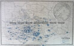
Antique Map 14-336 Victoria – showing State Schools c.1886
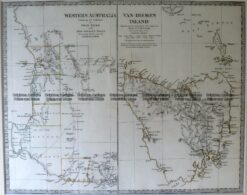
Antique Map 15-106 West Australia & Tasmania c.1844
Antique Map 3-871 Australia by S.D.U.K c.1844