CURRENCY
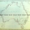
Australian Colonies & New Zealand by Gall & Inglis c.1850
Hand coloured steel engraving 57cm X 47cm Condition A
Antique Map 9-973 Australia by Arrowsmith c.1842
Antique Map 230-542 Neueste Karte von Australien by Radefeld c.1846
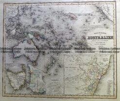
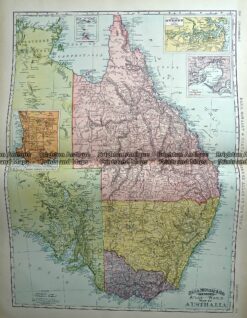
Antique Map 233-225 Australia – Victoria, NSW, Queensland by Rand McNally c.1894
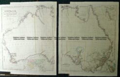
Antique Map 3-101 – Northern Territory Vandermaelen – circa 1827 Hand coloured steel engraving 56cm X 47cm Condition A+