CURRENCY
$220.00
Australia by Johnson & Ward &;c.1859
Hand coloured steel engraving 40cm X 32cm Condition A+
Antique Map 3-009 – Australia – Oceania Picturesque Atlas – circa 1886 Chromolithograph 61cm X 37cm Condition A+
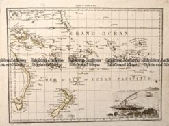
Antique Map – Oceanique Orient by Tardieu c.1812 Ref: 237-153
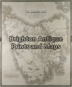
Antique Map 3-091 – Tasmania Johnston – circa 1845 Steel engraving 49cm X 59cm Condition A+
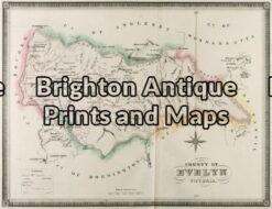
Antique Map 3-222 – Victoria – County of Evelyn F E Hiscock – circa 1874 Hand coloured lithograph 51cm X 40cm Condition A+