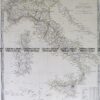
CURRENCY
Australian Colonies and New Zealand by Hughes &;c.1860
Hand coloured steel engraving 32cm X 24cm Condition A+
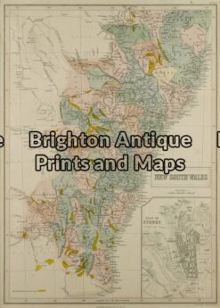
Antique Map 3-073 – New South Wales J Bartholomew circa 1848 Hand coloured steel engraving 27cm X 38cm Condition A+
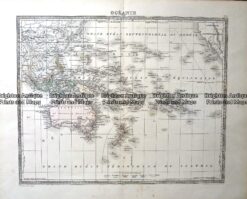
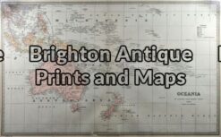
Antique Map – Oceanie Pacific by Lemercier c.1850 Ref: 237-367
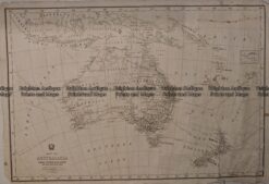
Antique Map 236-037 Australia – railway systems & Telegraph lines c.1942
Antique Map 3-009 – Australia – Oceania Picturesque Atlas – circa 1886 Chromolithograph 61cm X 37cm Condition A+