CURRENCY
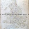
England (LAngleterre)
Dufour – circa 1856 Steel engraving 75cm X 55cm Condition A+
SOLD
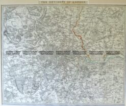
Antique Map 4-177 London and vicinity by S.D.U.K. c.1844
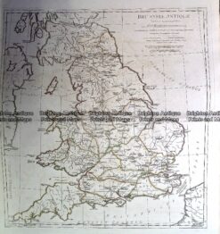
Antique Map 230-139 Britain – Britanniae Antiquae by D’Anville c.1785
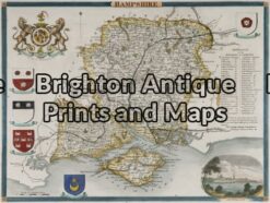
Antique Map 4-146 – England – Hampshire Moule – circa 1840 Hand coloured steel engraving 21cm X 26cm Condition A+
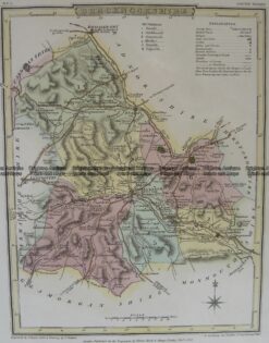
Antique Map 4-201 Wales Brecknockshire by J Roper c.1809


 Dufour – circa 1856 Steel engraving 75cm X 55cm Condition A+")