CURRENCY
Liverpool street map by S.D.U.K &;c.1844
Steel engraving 30cm X 28cm Condition A+
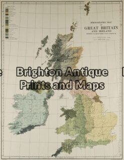
Antique Map 5-138 – Britain – Ethnological Map Johnston – circa 1886 Chromolithograph 33cm X 43cm Condition A
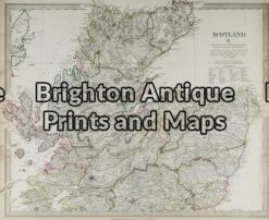
Antique Map 4-152 – Scotland – Highlands J & C Walker – circa 1835 Steel engraving 39cm X 32cm Condition A+
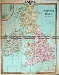
Antique Map 232-402 Britain by Cruchley c.1834
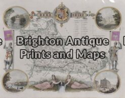
Antique Map 4-154 – England – Berkshire Moule – circa 1840 Hand coloured steel engraving Condition A+