CURRENCY
$350.00
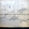
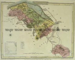
Ireland by S.D.U.K. c.1844
Steel engraving 38cm X 62cm Condition A+
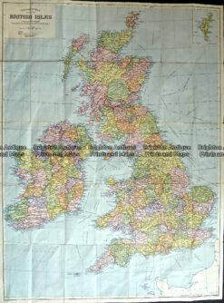
Antique Map 236-017 Britain by Geographia c.1950’s
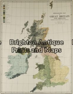
Antique Map 4-138 – Britain – ethnological map Johnston – circa 1886 Chromolithograph 33cm X 43cm Condition A
Antique Map 4-158 – England – Isle of Man Moule – circa 1840 Hand coloured steel engraving 26cm X 19cm Condition A+
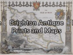
Antique Map 4-204 Wales Flintshire by J Roper c.1809