CURRENCY
Edinburgh and vicinity by S.D.U.K. c.1844
Steel engraving 38cm X 31cm Condition A+
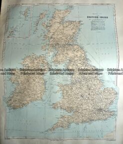
Antique Map 233-290 Britain – Railway map by Stanford c.1887
Antique Map 4-136 – Britain Hand coloured steel engraving Downer – circa 1850 21cm X 26cm Condition A+
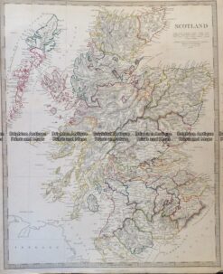
Antique Map 4-149 – Scotland – lowlands J & C Walker – circa 1835 Steel engraving 39cm X 32cm Condition A+
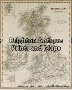
Antique Map 4-169 Scotland c.1844