CURRENCY
$150.00
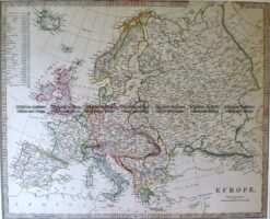
Europe by S.D.U.K. c.1844
Steel engraving 39cm X 32cm Condition A
Antique Map 4-182 Europe by S.D.U.K. c.1844
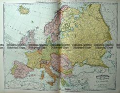
Antique Map 233-219 Europe by Rand McNally c.1894
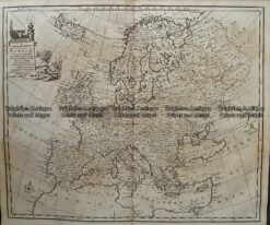
Antique Map 232-070 Europe by Bowen c.1744
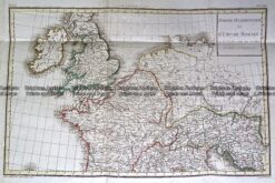
Antique Map 232-148 L’Empire Romain by D’Anville c.1797