CURRENCY
Street map of London by Letts &;c.1883
Chromolithograph 66cm X 40cm Condition A+
SOLD
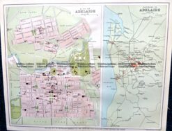
Antique Map 9-827 Adelaide Street Map c.1896
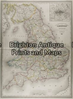
Antique Map 5-142 – England (LAngleterre) Dufour – circa 1856 Steel engraving 75cm X 55cm Condition A+
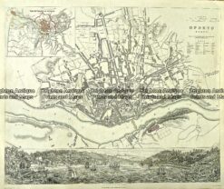
Antique Map 233-009 Oporto Street Map Portugal by S.D.U.K. c.1844
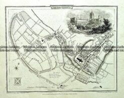
Antique map – St Alban’s Street Map by Verner, Hood & Sharpe c.1805 Ref#232-748