CURRENCY
$100.00
Europe in Ancient Times by Wilkinson c.1830
Hand coloured steel engraving 29cm X 22cm Condition A+
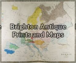
Antique Map 5-024 – Europe – ethnographic map W & AK Johnston – circa 1860 Hand coloured steel engraving 59cm X 49cm Condition B
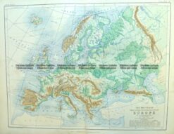
Antique Map 4-186 Europe – Topographical map by Blackwood c.1890
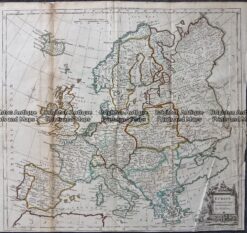
Antique Map – Europe by Kitchin c.1780
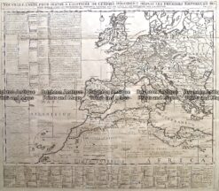
Antique Map 232-174 Europe in Roman times by Chatelain c.1719