CURRENCY
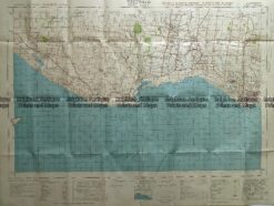
Navigation Chart of Geelong Harbour 1864 corrected to 1934
Lithograph 80cm X 47cm Condition A+
Antique Map 3-304 Victoria – Ringwood area c.1935
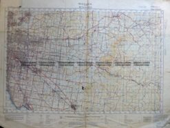
Antique Map 232-266 Port Fairy military map c.1942
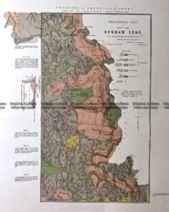
Antique Map 236-020 Geological map of Durham in Victoria c.1890
Antique Print Antique Map 233-233 Gold Mines in Victoria – Ballarat and Bendigo c.1880’s