CURRENCY
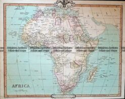
Africa by S.D.U.K. c.1844
Steel engraving 39cm X 32cm Condition A+ &;
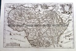
Antique Map 230-130 Africae Pars Borealis by Scherer c.1699
Antique Map – Africa by Teasdale c.1847
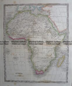
Antique Map 232-121 Africa by Cruchley c.1834
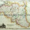
Antique Map 40-01 – Natal and Kaffraria Tallis – circa 1851 Steel engraving 24cm X 34cm Condition A+