CURRENCY
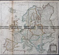
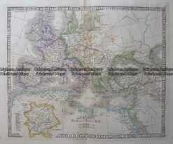
Europe
J Wyld – circa 1820 Hand coloured steel engraving 29cm X 22cm Condition A+
SOLD
Antique Map 4-193 Europe in Ancient Times by Wilkinson c.1830
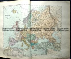
Antique Map – Europe by Kitchin c.1780
Antique Map 233-287 Europe by Stanford c.1887
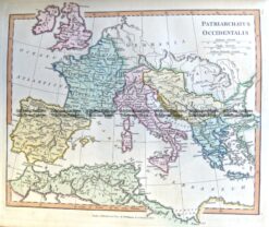
Antique Map – Ancient Roman Empire by Teasdale c.1847 Ref: 237-125