CURRENCY
$170.00
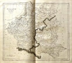
Poland
J Wyld – circa 1820 Hand coloured engraving 27cm X 23cm Condition A+
Antique map – Poland by Playfair c.1822 Ref: 339-015
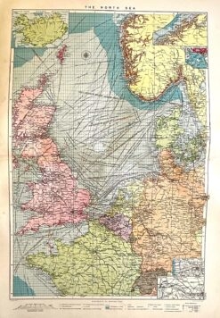
Antique Map 232-106 Navigation Charts corrected to 1940’s
Antique map – North Sea and shipping routes c.1913. Ref: 339-020
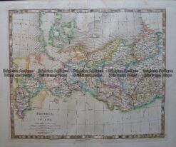
Prussia and Poland by Teasdale c.1847 Ref: 237-116