CURRENCY
$160.00
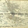
Paris – Street Map
Anon – circa 1850 Steel engraving 28cm X 22cm Condition A+
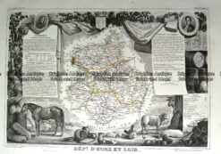
Antique Map 230-195 Loire Valley area south of Paris by Levasseur c.1854
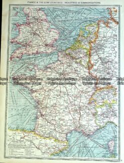
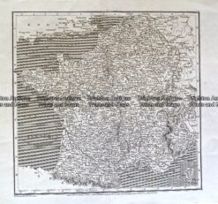
Antique Map 233-400 France – industries & communications by Philip c.1905
Antique Map 232-170 Carte de la Republique Française by Chanlaire c.1780
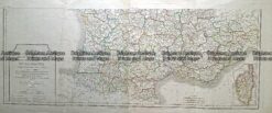
Antique Map 233-407 France by Arrowsmith c.1807