CURRENCY
Holland &;c.1880
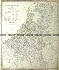
Antique Map 5-167 The Netherlands or Holland and Belgium by S.D.U.K c.1844
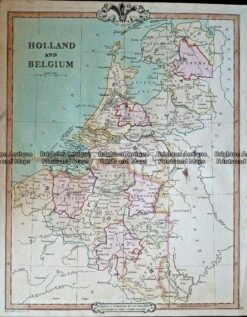
Antique Map 232-408 Holland & Belgium by Cruchley c.1834
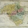
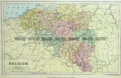
Antique Map 5-159 Belgium by Chambers c.1880
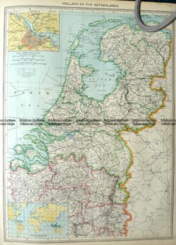
Antique Map 5-165 Holland or The Netherlands by Halmsworth c.1905