CURRENCY
$140.00
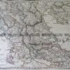
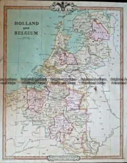
Holland and Belgium &;by Johnston &;c.1886
Hand coloured steel engraving 32cm x 43cm Condition A+
Antique Map 233-338 Nederland grondsoorten c.1929
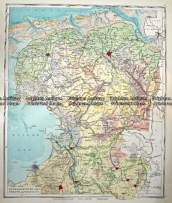
Antique Map 233-346 Holland – Groningen, Friesland, Drente en Overijsel by Wolters c.1929
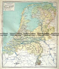
Antique Map 5-163 Netherlands or Holland by S.D.U.K. c.1830
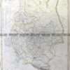
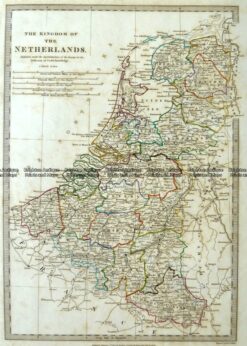
Antique Map 232-408 Holland & Belgium by Cruchley c.1834