Skip to content
Brighton Antique Prints and MapsBrighton Antique Prints and Maps
  • CURRENCY

    WOOCS 2.1.5
  • VIEW CART
  • Catalogue
  • Home
  • Catalogue
    • Antique Maps
    • Antique Prints
    • Books & Gov’t Reports
    • Manuscript Documents
  • Recent Arrivals
  • About
  • FAQ
  • Register Interests
  • Contact Us
Antique map - St Petersburg street map by S.D.U.K. c. 1844  Ref: 889-029
Home / Antique Maps / Europe / Russia
  • 2-140 - Tokyo - Japanese street map Anon  - circa 1890 Wood block 60cm X 50cm Condition A+

Antique map – St Petersburg street map by S.D.U.K. c. 1844 Ref: 889-029

  • 2-140 - Tokyo - Japanese street map Anon  - circa 1890 Wood block 60cm X 50cm Condition A+

$375.00

SKU: 889-028 Categories: City Street Maps, Russia
  • 2-140 - Tokyo - Japanese street map Anon  - circa 1890 Wood block 60cm X 50cm Condition A+
Product Categories
  • Antique Maps
    • World
    • Australia & Pacific
    • Britain and Ireland
    • Europe
      • Europe - Continent
      • France
      • Germany
      • Italy
      • Greece
      • Holland & Belgium
      • Poland & Baltic
      • Balkans
      • Spain & Portugal
      • Scandinavia
      • Switzerland
      • Russia
      • Turkey
      • Other
    • Asia
    • North America
    • South America
    • Africa
    • City Street Maps
    • Geological maps
    • Tallis
  • Antique Prints
  • Books & Gov't Reports
  • Manuscript Documents
  • Description

St Petersburg street map by S.D.U.K c.1844

Expensively framed
Steel engraving
36cm X 32cm
Condition A+

These and other city maps were compiled in an atlas published by the Society for the Diffusion of Useful Knowledge (S.D.U.K.) c.1844. Expensively and tastefully framed with French mat.
These may also be of interest

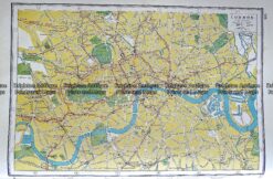
Antique map - London street map by Harmsworth c.1920  Ref# 232-914

Antique map – London street map by Harmsworth c.1920 Ref# 232-914

$80.00
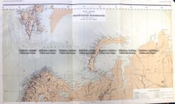
5-238  Russia - Northern region in Europe by Perthes  c.1867

Antique Map 5-238 Russia – Northern region in Europe by Perthes c.1867

$100.00
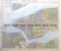
8-201  New York - Lower Manhattan street map by Letts c.1883

Antique Map 8-201 New York – Lower Manhattan street map by Letts c.1883

$250.00
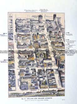
29-487  Collins and Bourke Street - bird's eye view  c.1906

Antique Print Antique Map 29-487 Collins and Bourke Street – bird’s eye view c.1906

$65.00
© 2026 BRIGHTON ANTIQUE PRINTS AND MAPS. ALL RIGHTS RESERVED | Website by Blaze Online Credit Card
Visa
PayPal
Stripe
MasterCard
Cash On Delivery
  • Home
  • Catalogue
    • Antique Maps
    • Antique Prints
    • Books & Gov’t Reports
    • Manuscript Documents
  • Recent Arrivals
  • About
  • FAQ
  • Register Interests
  • Contact Us
  • View Cart

Sending...