CURRENCY
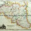
China and Japan by Teesdale &;c.1837
Hand coloured steel engraving 41cm X 33cm Condition A+
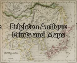
Antique Map 2-123 – Asia – Central Asia J Archer – circa 1840 Outline colour steel engraving 28cm X 23cm Condition A
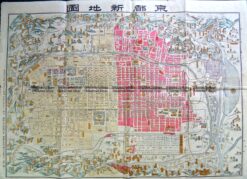
Antique Map 2-143 Kyoto street map c.1900
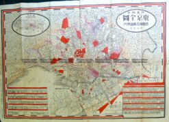
Antique Map 2-146 Japan – Tokyo street map c.1911
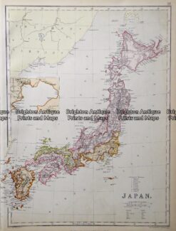
Antique map – Japan by Black & Son c.1882 Ref: 415-010