CURRENCY
England in Saxon Times by Wilkinson c.1830
Hand coloured steel engraving 22cm X 29cm Condition A+
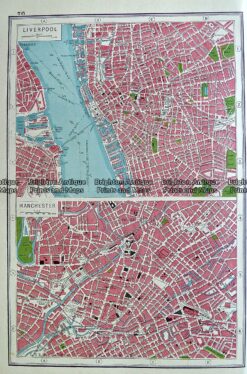
Antique map – Liverpool and Manchester by Harmsworth c.1920 Ref# 232-916
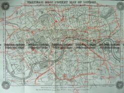
Antique Map 230-209 Railway map of London c.1880
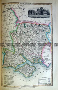
Antique Map 230-484 Hampshire by Slater c.1846
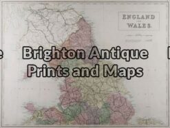
Antique Map 4-033 – England and Wales A & C Black – circa 1865 Chromolithograph 56cm X 42cm Condition A+