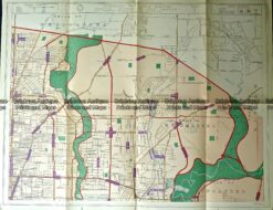
CURRENCY
Melbourne & SuburbsSands & McDougall – circa 1930Chromolithograph74cm X 100cmCondition A+
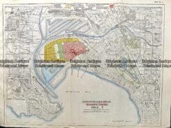
Antique map – Melbourne showing Industrial suburbs c.1925 Ref: 237-085
Antique Map 232-272 Chelsea street map c.1950
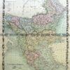
Antique map – Preston, Heidelberg c.1929 Ref#232-879
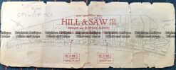
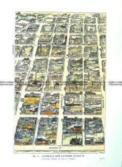
Antique Print Antique Map 29-490 Lonsdale and LaTrobe Street bird’s eye view c.1906