CURRENCY
New Guinea &;c.1881
Lithograph 42cm X 19cm Condition A
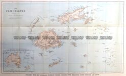
Antique Map 7-068 Fiji c. 1883
Antique Map 230-540 Australian oder Oceanien by Koehler c.1849
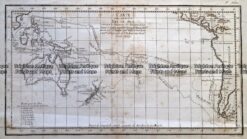
Antique Map 232-271 Carte d’une Partie de la Mer du Sud Contentant
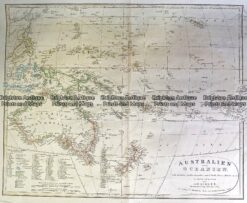
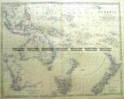
Antique Map 3-699 Oceania – Australia and Pacific by Johnston c.1864