CURRENCY
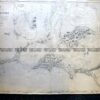
Canada – Labrador and Greenland by A Zatta &;c.1778
Hand coloured copperplate engraving 40cm X 30cm Condition A+
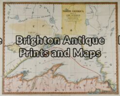
Antique Map 8-177 – United States – Lake Superior J & C Walker – circa 1832 Hand coloured steel engraving 38cm X 30cm Condition A+
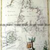
Antique Map 8-182 – Canada J Tallis – circa 1851 Steel engraving 34cm X 25cm Condition A+
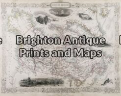
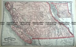
Antique Map 233-256 British Columbia Canada by Rand McNally c.1894
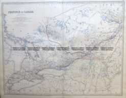
Antique Map 8-197 Canada – Ontario and Quebec by Johnston c.1964