

Skip to content
Brighton Antique Prints and MapsBrighton Antique Prints and Maps
  • CURRENCY

    WOOCS 2.1.5
  • VIEW CART
  • Catalogue
  • Home
  • Catalogue
    • Antique Maps
    • Antique Prints
    • Books & Gov’t Reports
    • Manuscript Documents
  • Recent Arrivals
  • About
  • FAQ
  • Register Interests
  • Contact Us
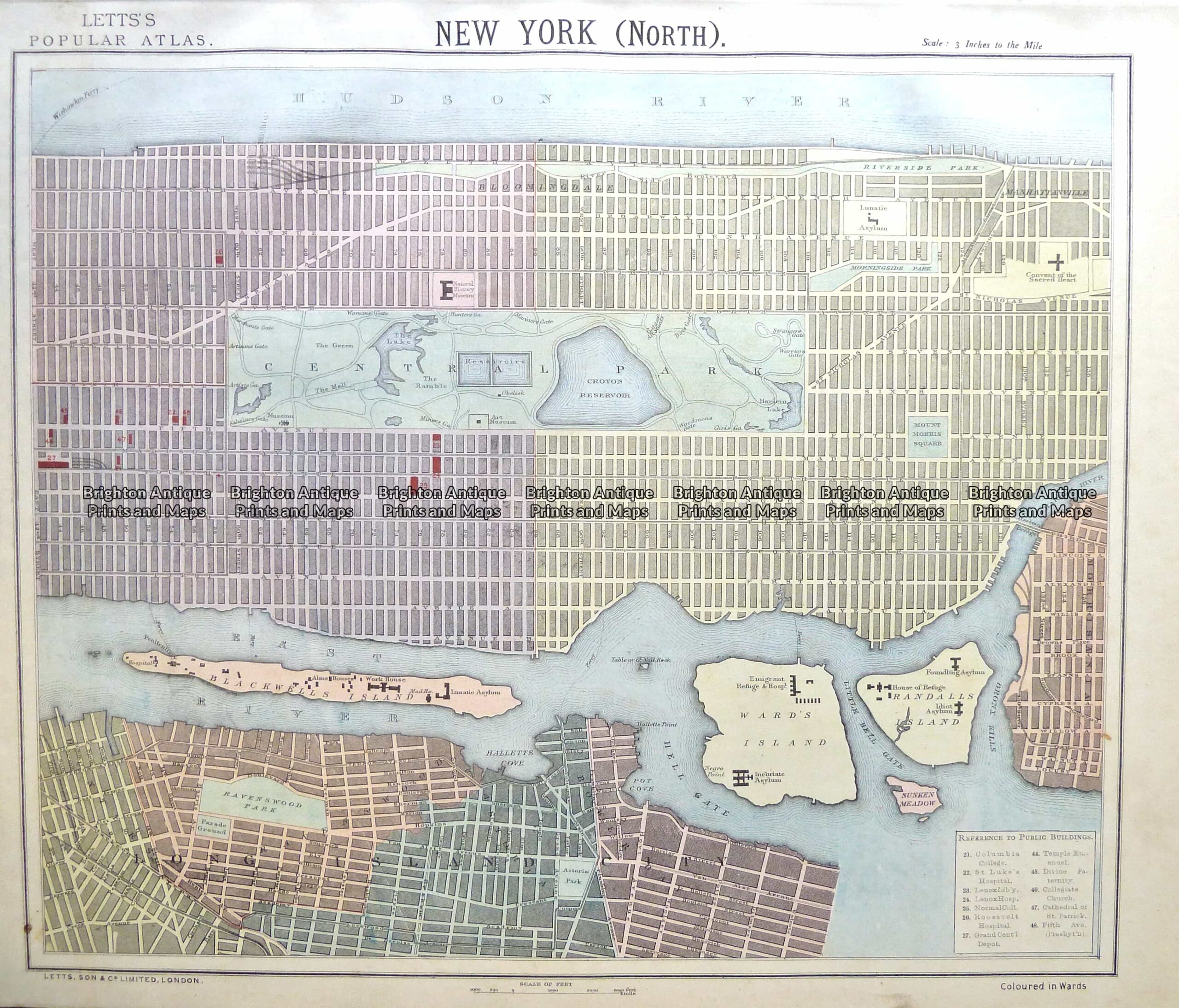
8-200  New York - Central Manhattan by Letts  c.1883
Home / Antique Maps / North America / Eastern USA
  • 3-022 - Australia - East Coast of Australia from Cooks first voyage Dutch edition van Baasel - circa 1774 Copperplate engraving with outline colour 78cm X 36cm Condition A+

Antique Map 8-200 New York – Central Manhattan by Letts c.1883

  • 3-022 - Australia - East Coast of Australia from Cooks first voyage Dutch edition van Baasel - circa 1774 Copperplate engraving with outline colour 78cm X 36cm Condition A+

SKU: 8-200 Categories: Antique Maps, Eastern USA, City Street Maps
  • 3-022 - Australia - East Coast of Australia from Cooks first voyage Dutch edition van Baasel - circa 1774 Copperplate engraving with outline colour 78cm X 36cm Condition A+
Product Categories
  • Antique Maps
    • World
    • Australia & Pacific
    • Britain and Ireland
    • Europe
    • Asia
    • North America
      • North America - Continent
      • USA
      • Eastern USA
      • Central USA
      • Western USA
      • Canada
      • Mexico
      • Other
    • South America
    • Africa
    • City Street Maps
    • Geological maps
    • Tallis
  • Antique Prints
  • Books & Gov't Reports
  • Manuscript Documents
  • Description

Street map of Central Manhattan NYC by Letts &;c.1883

Chromolithograph
39cm X 32cm
Condition A+

SOLD

Other maps of NY city are available
These may also be of interest

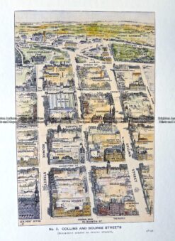
29-489  Collins and Bourke Street bird's eye view  c.1906

Antique Print Antique Map 29-489 Collins and Bourke Street bird’s eye view c.1906

$65.00
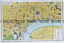
Antique map - London street map by Harmsworth c.1920  Ref# 232-915

Antique map – London street map by Harmsworth c.1920 Ref# 232-915

$80.00
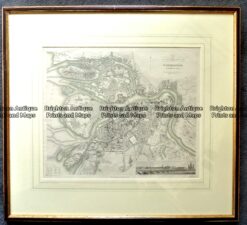
Antique map - St Petersburg street map by S.D.U.K. c. 1844  Ref: 889-029

Antique map – St Petersburg street map by S.D.U.K. c. 1844 Ref: 889-029

$375.00
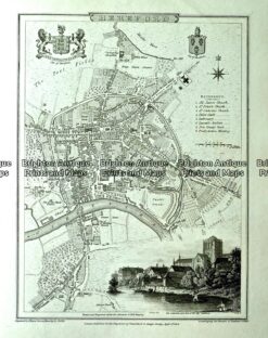
Antique map - Hereford Street Map by Verner, Hood & Sharpe  c.1805  Ref#232-742

Antique map – Hereford Street Map by Verner, Hood & Sharpe c.1805 Ref#232-742

$130.00
© 2026 BRIGHTON ANTIQUE PRINTS AND MAPS. ALL RIGHTS RESERVED | Website by Blaze Online Credit Card
Visa
PayPal
Stripe
MasterCard
Cash On Delivery
  • Home
  • Catalogue
    • Antique Maps
    • Antique Prints
    • Books & Gov’t Reports
    • Manuscript Documents
  • Recent Arrivals
  • About
  • FAQ
  • Register Interests
  • Contact Us
  • View Cart

Sending...