CURRENCY
8-813 Plan of proposed docks in Yarra River
Lithograph 120cm X 50cm Condition A+
SOLD
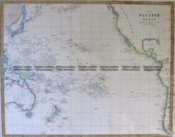
Antique Map 3-869 Pacific by S.D.U.K c.1844
Antique Map 3-101 – Northern Territory Vandermaelen – circa 1827 Hand coloured steel engraving 56cm X 47cm Condition A+
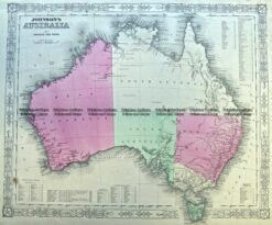
Antique Map 3-988 Australia by Johnson & Ward c.1855
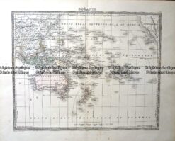
Antique Map – Oceanie Pacific by Lemercier c.1850 Ref: 237-367