CURRENCY
$125.00
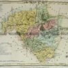
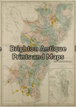
New South Wales
Picturesque Atlas – circa 1886Chromolithograph61cm X 37cmCondition A+
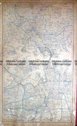
Antique Map 232-027 Sydney street map – CBD and nearby c.1954
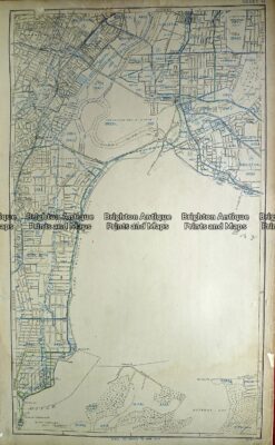
Antique Map 232-028 Sydney street map – Sydney airport and nearby c.1954
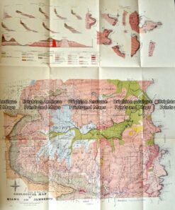
Antique Map 232-570 NSW – Geological map of County of Camden c.1920
Antique Map 9-073 – New South Wales J Bartholomew – circa 1848 Hand coloured steel engraving 27cm X 38cm Condition A+