CURRENCY
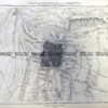
Melbourne Street Map with inset of Port Phillip c.1926
Lithograph 18cm X 25cm Condition A+
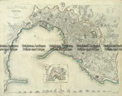
Antique Map 233-003 Genoa or Genova Street Map Italy by S.D.U.K. c.1844
Antique map – Street map of Mulgrave, Melbourne c.1929 Ref# 232-874
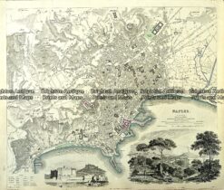
Antique Map 233-008 Naples Street Maps Italy by S.D.U.K. c.1844
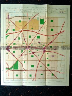
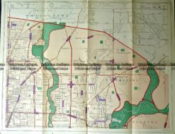
Antique map – Preston, Heidelberg c.1929 Ref#232-879