CURRENCY
$275.00
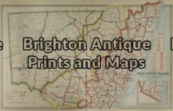
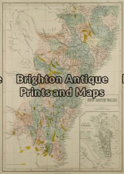
New South Wales by S.D.U.K. c.1844
Steel engraving 33cm X 39cm Condition B (light stains in left border)
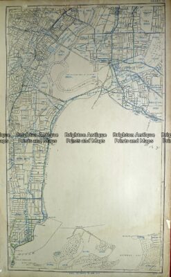
Antique Map 232-028 Sydney street map – Sydney airport and nearby c.1954
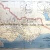
Antique Map 232-106 Navigation Charts corrected to 1940’s
Antique Map 9-064 – New South Wales Picturesque Atlas – circa 1886 Chromolithograph 61cm X 37cm Condition A+
Antique Map 9-073 – New South Wales J Bartholomew – circa 1848 Hand coloured steel engraving 27cm X 38cm Condition A+