CURRENCY
$125.00
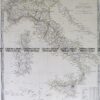
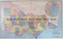
Railway map of Victoria &;c.1896
Lithograph &; 28cm X 22cm Condition A+
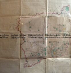
Antique Map 233-452 Victoria – County of Villiers by Bailliere c.1866
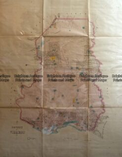
Antique Map 233-451 Victoria – County of Hampden by Bailliere c.1866
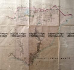
Antique Map 233-453 Victoria – County of Polwarth by Bailliere c.1866
Antique Map 3-203 – Victoria Picturesque Atlas circ 1886 Chromolithograph 61cm X 37cm Condition A+