CURRENCY
$150.00
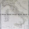
Railway map of Victoria &;c.1883
Lithograph 42cm X 27cm Condition A+
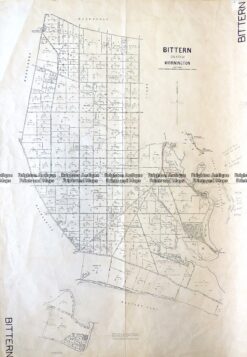
Antique Map 3-828 Victoria – Bittern in County of Mornington c.1950
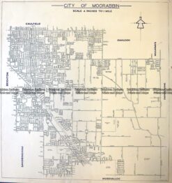
Antique Map 3-831 Moorabbin street map c.1949
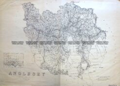
Antique Map 3-824 Victoria – County of Anglesey c.1958
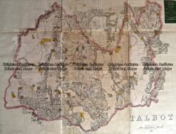
Antique Map 233-454 Victoria – County of Talbot by Bailliere c.1866