CURRENCY
Victoria &;c.1896
Chromolithograph 28cm X 22cm Condition A+
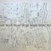
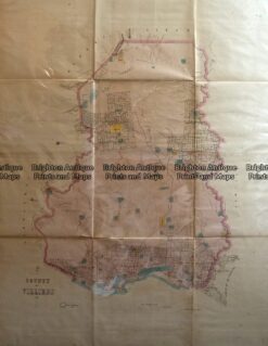
Antique Map 233-452 Victoria – County of Villiers by Bailliere c.1866
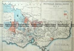
Antique Map – Victorian Water Supply c.1890 Ref No. 238-002
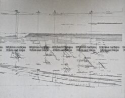
Antique Map 236-044 Gold mining – cross-sections of mines in Sandhurst (Bendigo)
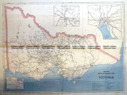
Antique Print Antique Map 3-330 Victoria Railway lines c.1886