CURRENCY
$140.00
Street Map of Adelaide &;c.1896
Chromolithograph 28cm X 22cm Condition A+
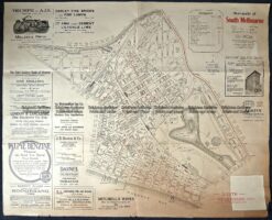
Antique Map 9-159 Melbourne Street Map – South Melbourne c.1920
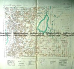
Antique Map 230-609 Lake Frome – South Australia Military Map – 1942
Antique Map 11-085 – Northern Territory Vandermaelen – circa 1827 Steel engraving 55cm X 47cm Condition A+
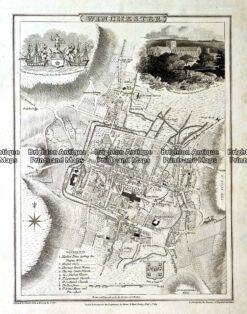
Antique map – Winchester Street Map by Verner, Hood & Sharpe c.1805 Ref#232-749