CURRENCY
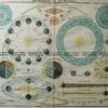
Jamboree Hike Map near Lilydale &;c.1935
Lithograph backed on linen 60cm X 90cm Condition A
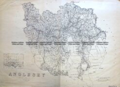
Antique Map 3-824 Victoria – County of Anglesey c.1958
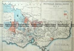
Antique Map – Victorian Water Supply c.1890 Ref No. 238-002
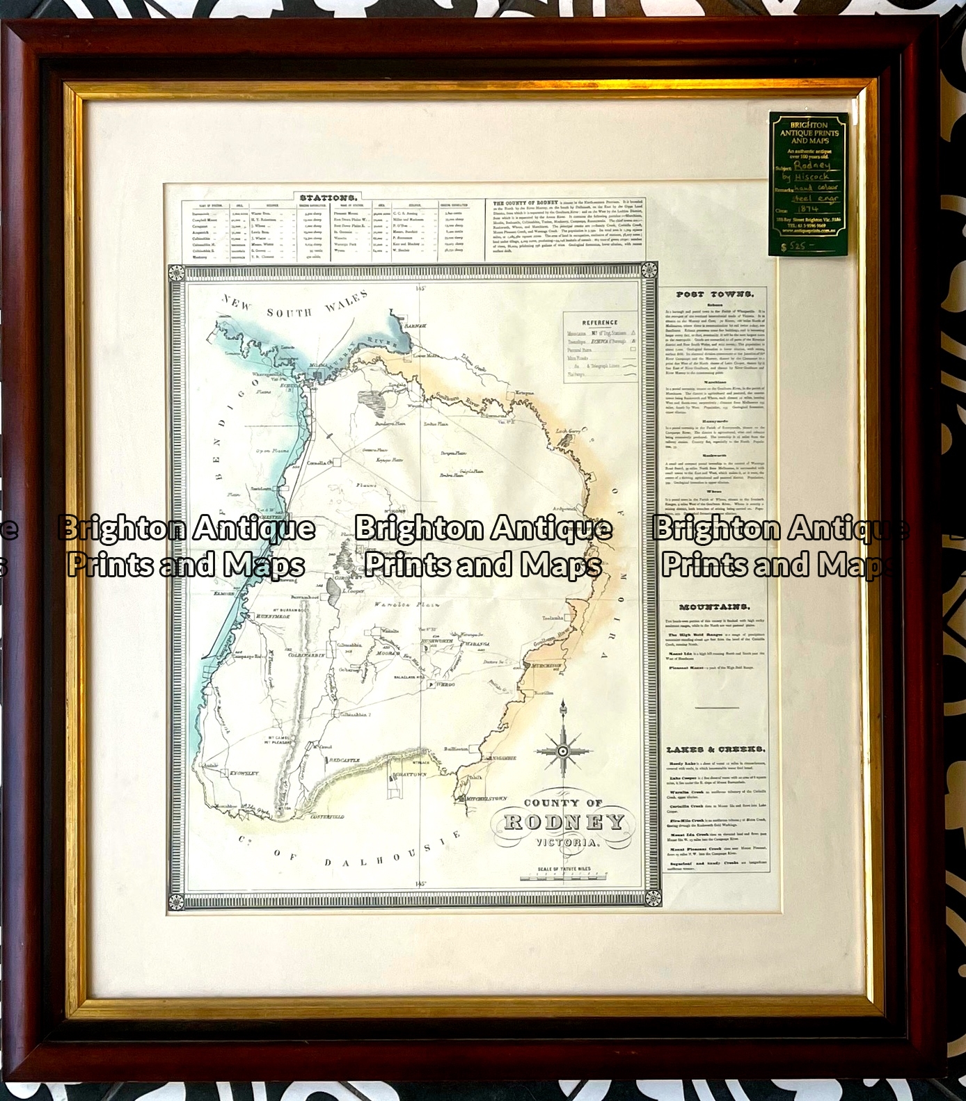
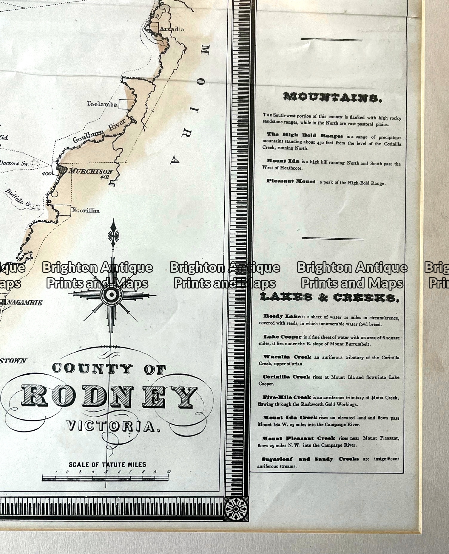
Antique map – County of Rodney by Hiscock c.1874 Ref: 789-016
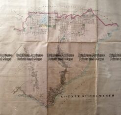
Antique Map 233-453 Victoria – County of Polwarth by Bailliere c.1866