CURRENCY
Jamboree Hike Map near Lilydale &;c.1935
Lithograph backed on linen 60cm X 90cm Condition A
Antique Print Antique Map 233-236 Gold Mines in Victoria – Ballarat and Bendigo c.1880’s
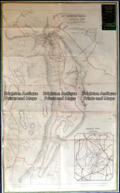
Antique map – Grampians Tourist Map c.1933 Ref: 889-022
Antique Map 233-451 Victoria – County of Hampden by Bailliere c.1866
Antique Map 3-311 Victoria – Western suburbs of Melbourne c.1933