CURRENCY
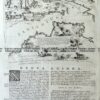
Australia – showing tracks of explorers &;c.1880
Lithograph 32cm X 26cm Condition A
SOLD
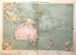
Antique map – Australia & New Zealand with shipping routes c.1913. Ref: 339-028
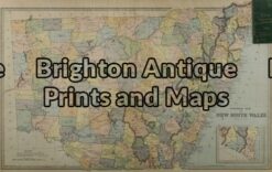
Antique Map 3-070 – New South Wales Picturesque Atlas – circa 1886 Chromolithograph 62cm X 38cm Condition A+
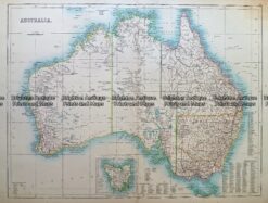
Antique Map 232- 268 Australia c.1890
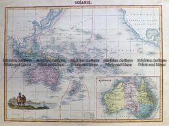
Antique Map 230-531 Oceanie by Migeon c.1878