CURRENCY
$85.00
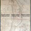
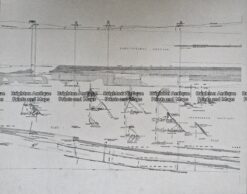
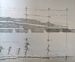
Port Fairy Victoria
Military map of Port Fairy area c.1942. Approx 7cm X 57cm
There are no reviews yet.
You must be logged in to post a comment.
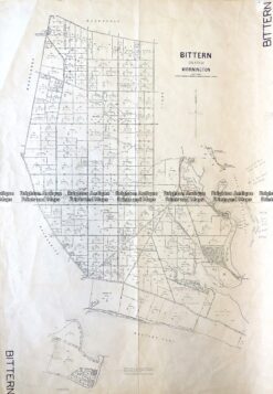
Antique Map 3-828 Victoria – Bittern in County of Mornington c.1950
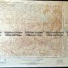
Antique Map 230-226 Military map of Western Port Vic c.1940
Antique Map 236-044 Gold mining – cross-sections of mines in Sandhurst (Bendigo)
Antique Print Antique Map 233-233 Gold Mines in Victoria – Ballarat and Bendigo c.1880’s


Reviews
There are no reviews yet.