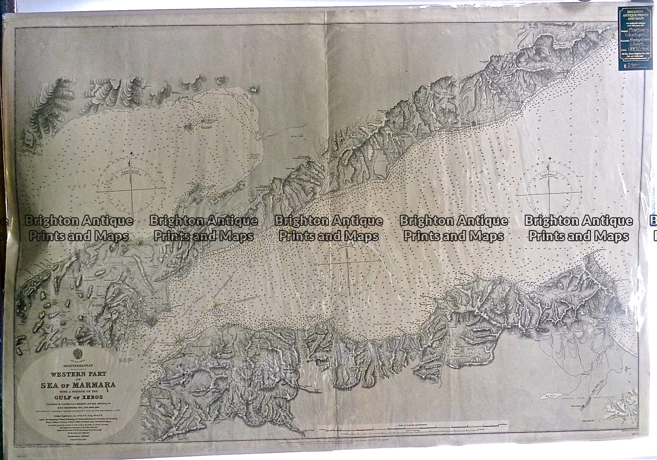
P1060969 Published August 30, 2017 at 2245 × 1575 in Antique Print Antique Map 230-518 Sea of Marmara West (Dardanelles) – Navigation Chart c.1914