CURRENCY
$375.00
There are no reviews yet.
You must be logged in to post a comment.
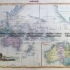
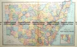
Antique map – New South Wales c.1886 Ref: 889-003
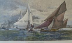
Antique Print 26-626 Yachting in Sydney c. 1886
Antique Print 30-355 – Sydney – Botanical Gardens Anon – circa 1879 Wood engraving 32cm X 23cm Condition A+
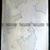
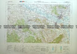
Antique Map 230-613 Albury – Wodonga area military map c.1951


Reviews
There are no reviews yet.