CURRENCY
$250.00
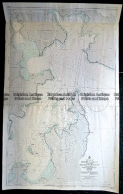
Navigation Chart of Sydney Harbour c.1971
72cm X 116cm Condition A
There are no reviews yet.
You must be logged in to post a comment.
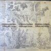
Antique Map 9-066 – Botany Bay / Endeavour River J Cook – circa 1774 Copperplate engraving 33cm X 13cm Condition A+
Antique Print Antique Map 230-529 Sydney Harbour Navigation Chart
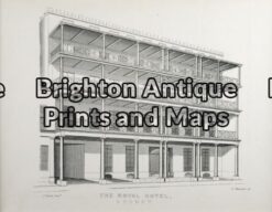
Antique Print 30-357 – Sydney – Royal Hotel J Fowles – circa 1848 (1880) Tinted lithograph 20cm X 18cm Condition A+
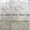
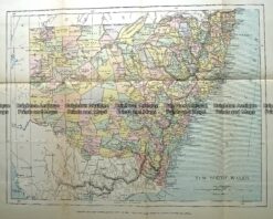
Antique Map 232-091 New South Wales by Gordon & Gotch c.1889


Reviews
There are no reviews yet.