CURRENCY
$150.00
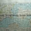
Navigation Chart – Montague Island to Jervis Bay in NSW
Lithograph Condition A
There are no reviews yet.
You must be logged in to post a comment.
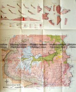
Antique Map 232-570 NSW – Geological map of County of Camden c.1920
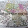
Antique Map 9-069 – New South Wales Benarba, Stapylton, Courallie, etc J Sands – circa 1886 Chromolithograph 42cm X 53cm Condition A+
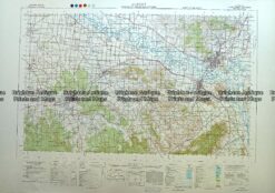
Antique Map 230-613 Albury – Wodonga area military map c.1951
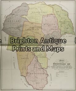
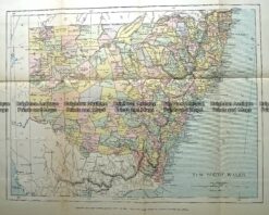
Antique Map 232-091 New South Wales by Gordon & Gotch c.1889


Reviews
There are no reviews yet.