CURRENCY
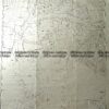
Navigation chart of Eastern Approaches to Hong Kong Harbour c.1969
99cm X 66cm Condition A+
There are no reviews yet.
You must be logged in to post a comment.
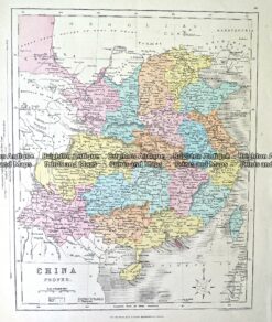
Antique Map 232-150 China by Archer c.1865
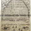
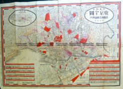
Antique Map 2-146 Japan – Tokyo street map c.1911
Antique Map 2-159 Tallis map of Tartary
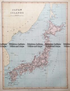
Antique map – Japan by Collins c.1874. Ref: 415-009


Reviews
There are no reviews yet.